



LiDAR scene capture
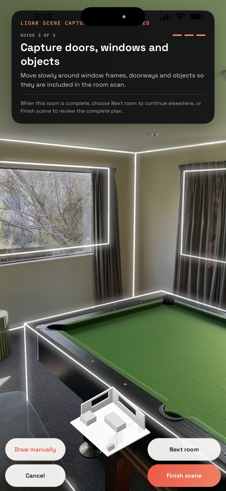
Walk the room and the plan draws itself. A LiDAR-equipped iPhone or iPad records walls, doors, windows and objects as you move; guided AR capture and manual drawing cover every other device.
Scene, diagram, exhibits, export — one record, four steps, start to finish. Walk the room and the plan draws itself. Number and photograph every exhibit as you find it. Then package the whole thing — PDF report, exhibit register, original files — in one tap. Hours of paperwork, finished before you leave the scene.

iPhone and iPad, plus Android on ARCore. The walkthrough that draws the plan for you needs a LiDAR-equipped iPhone or iPad; every other device uses guided capture or manual drawing.
// CAPABILITIES
SceneLedger holds the scene, the spatial plan, the exhibits and the final package together in a single record — captured where the work happens, with no signal required and nothing leaving the device until you send it.
Walk the room and the plan draws itself. A LiDAR-equipped iPhone or iPad records walls, doors, windows and objects as you move; guided AR capture and manual drawing cover every other device.
Real widths, lengths and areas rather than estimates, with the provenance of every measurement recorded beside it. Drag a wall to correct the outline, then add doors, windows and openings.
Numbered exhibits with photographs, GPS and an accuracy estimate, and an append-only movement history from located through to returned. Optional QR labels print straight to a sheet.
Dictate at scene, room or exhibit level and get an editable transcript back. Transcripts are machine-made working notes — the audio is retained so you can verify every one against it.
A PDF evidence report, an Excel exhibit register and every original file, bundled with a structured record and a manifest carrying a SHA-256 hash of each file in the package.
The local store is SQLCipher-encrypted with its key held in the device keychain, and the app locks behind biometrics. Evidence never leaves the device unless you export it.
// IN DEPTH
// Capture
On a LiDAR-equipped iPhone or iPad, SceneLedger builds the plan while you move through the scene — walls, doors, windows and objects picked up with real dimensions, no drawing skill required. Finish one room and start the next; the app assembles them into a single master scene plan. On devices without LiDAR it steps you through a guided capture instead, and manual drawing is always there as a fallback.
// Plans
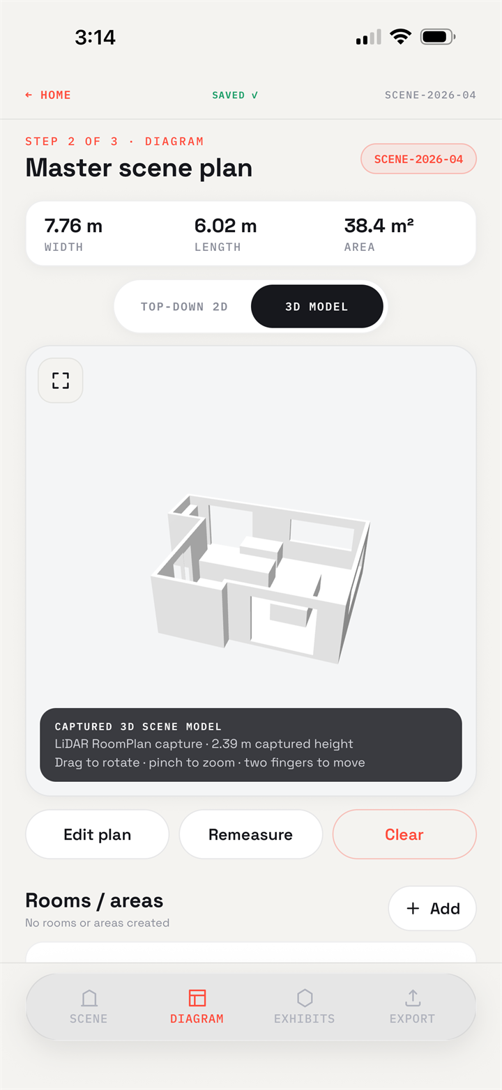
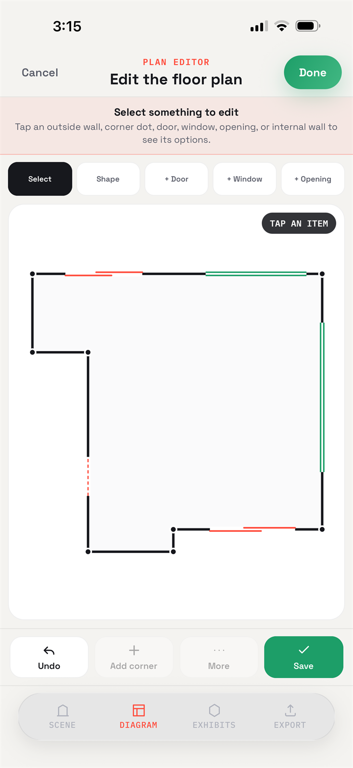
The same captured scene reads two ways: an explorable 3D model, and a top-down 2D plan you can correct by hand. Drag a single corner or move a whole wall from its midpoint, then place doors, windows and openings where they belong. How each measurement was captured is recorded alongside it, so the plan carries its own provenance. Buildings, vehicles and outdoor yards are all handled.
// Exhibits
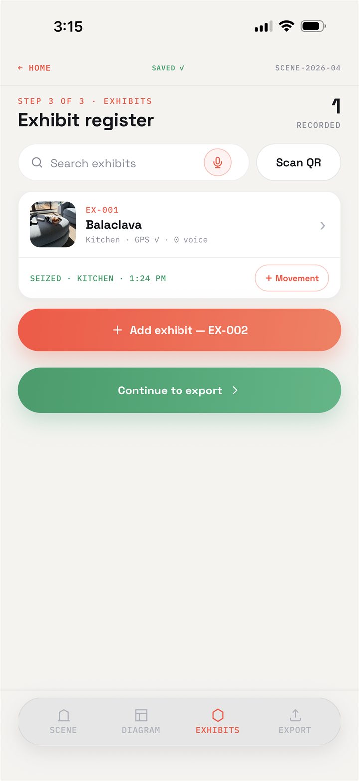
Each item gets its own numbered record: photographs, description, seizure time, who seized it, the room it came from, its position on the plan, and GPS with an accuracy estimate. From there the movement history is append-only — located, seized, into storage, transferred, uplifted, returned — each entry carrying time, place, handler and a verification photograph. Print QR labels if you want them; handwritten exhibit numbers keep working exactly as before.
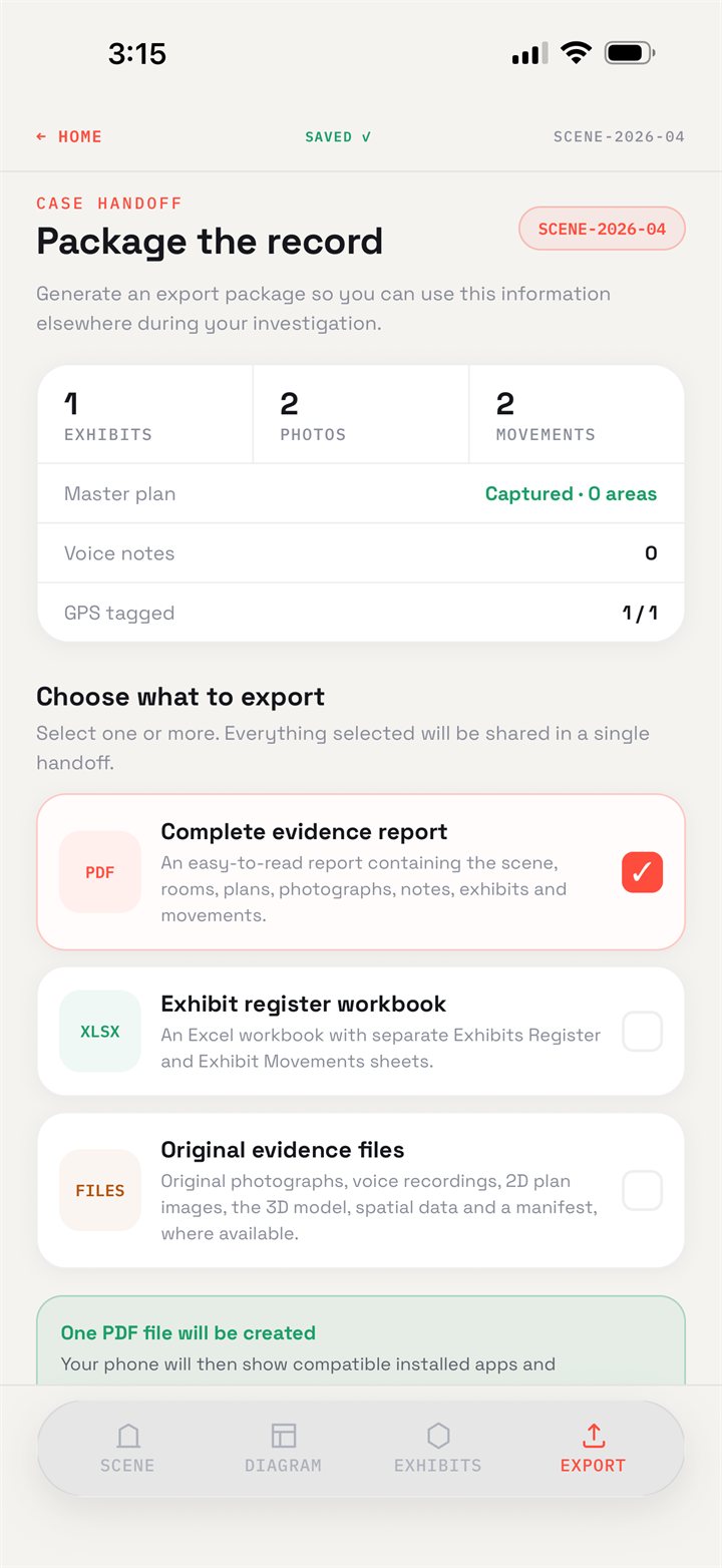
// Case handoff
Choose what to hand over — a complete PDF evidence report, an Excel workbook with the exhibit register and movement sheets, the original photographs, recordings, plans and 3D model — and SceneLedger packages them together. The bundle carries a structured record of the scene and a manifest listing a SHA-256 hash of every file in it. Nothing goes anywhere until you share or email it.
// DOWNLOAD
SceneLedger is on the App Store for iPhone and iPad. Download it and walk your next scene with it — or if you'd rather we ran one with you first, talk to us.